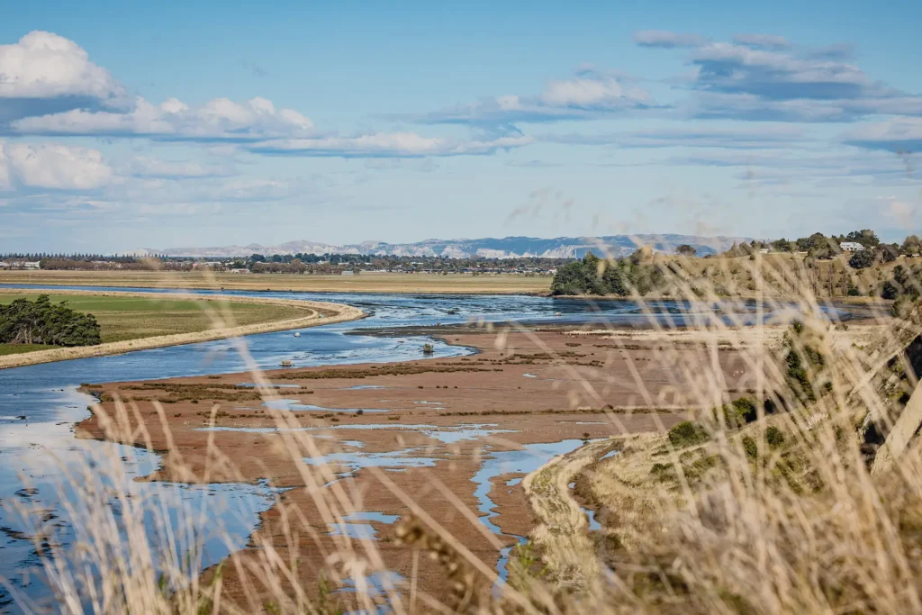
We have commenced a riparian planting demonstration at the Wharerangi/Kaikoura stream, adjacent to the Wharerangi Marae.
Ahuriri Tributaries Catchment Group Trust has been given the opportunity to demonstrate best practice riparian native planting and stream restoration to inspire landowners in the catchment.
Landowners Graham and Wendy Revell have kindly offered to retire this section of land next to the Wharerangi stream that flows through their property.
We acknowledge the huge commitment from the Revells to be part of this project, which will showcase native tree planting and stream restoration.
Fencing began in early July ’24, and a community planting day was held at the end of July, planting to a plan developed by Nathan Burkepile of NZ Landcare Trust. We look forward to sharing the progress of this site as it develops over the years.
Wharerangi Stream catchment
The Wharerangi Stream sub catchment, comprises some 3,000 hectares and is a significant part of the overall catchment.
Through the Ministry for the Environment’s Access to Experts (A2E) programme we are building our knowledge so that we can muster the landowners in this sub catchment to take action and keep the sediment on the hills and out of waterways.
At a community evening at the Puketapu School Hall in May. We heard from:
- Dr Will Conley (WSP) – who talked about his report into the factors contributing to the flooding of Wharerangi Stream during Cyclone Gabrielle (completed for HBRC)
- Matt Highway (Element Environment) – who shared some great examples of how catchment groups can make big improvements to erosion prone land.
The key messages:
The water from the cyclone has come and gone, but the sediment is still looking for a home for the next 5-10-15 years. We haven’t seen the end of that part of Cyclone Gabrielle. Encouragingly for our community; good catchment group planning works, leading to more robust, faster, cost-effective long-term results.
This project is only in its infancy, and A2E has approved funding for ATCGT to design a comprehensive catchment management plan.
The steps will include:
- An online survey of our landowners
- Community workshops
- Catchment GIS mapping of high risk areas and opportunities
- High-level fluvial geomorphic assessment for whole catchment with mapping and place-based potential for nature-based solutions
- Preparing a draft Implementation plan for feedback
- Creation of a community decision making tool
- Presenting the implementation plan back to community – after feedback
- Finalising the catchment action plan


